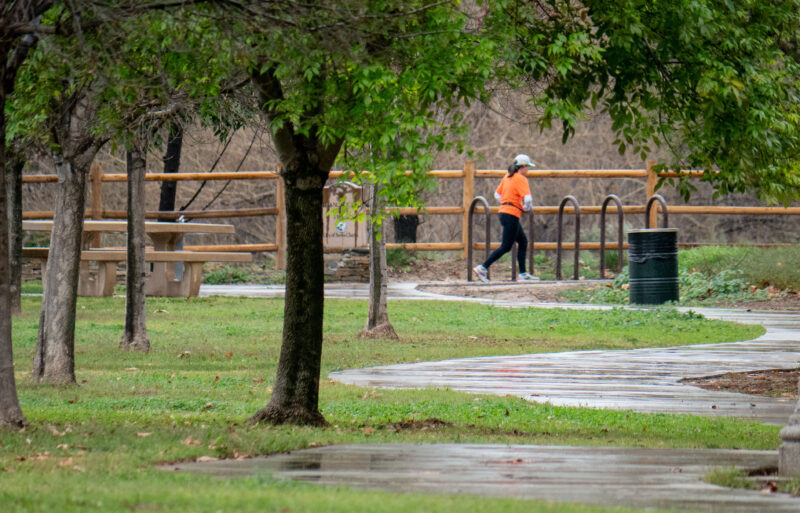
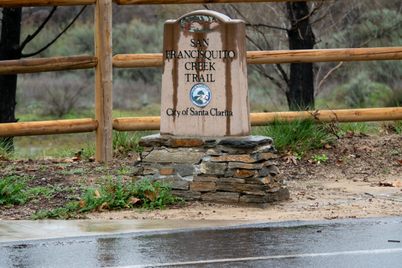
Santa Clarita Valley residents should prepare for another rainy holiday weekend going into the new year with potential evacuations in areas near the Canyon Fire burn scars.
Evacuation warnings have been issued for residents who live in the areas designated CAS-ROMERO, CAS-GOLDENSTATE-B, CAS-HASLEY, CAS-OAKCANYON, and CAS-VALVERDE.
“Evacuation warning for Canyon Fire burn scar area starting Wednesday, Dec. 31, at 11 a.m. due to possible mud or debris flows. GET SET for possible evacuations if you are near Hasley Canyon and Val Verde. Gather loved ones, pets and supplies. Those who need more time evacuating should consider leaving now. ALERTLA.ORG,” the warning said on the Genasys Protect website.
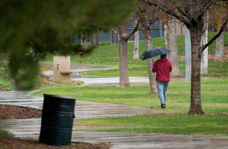
National Weather Service officials confirmed there were sprinkles throughout the valley on Wednesday morning, but the most intense rains are expected Wednesday night going into Thursday morning.
Rainfall is expected to get up to 1-2 inches, and the surrounding mountains will get up to 3-5 inches, according to Joe Sirard with the NWS.
There is a flood watch throughout the whole valley, including the burn scars, from 10 p.m. Wednesday to 10 p.m. Thursday, said Bryan Lewis with the NWS.
The winds will pick up in the mountains and foothills at around 40-50 mph. The valleys will have peak gusts up to 20-25 mph from Wednesday afternoon to Wednesday night, Lewis said.
Lewis added that there is a risk of flooding due to the previous rainfall during the week of Christmas.
“So, basically the soils are still very saturated or super wet or soaked, however you want to say it. So, they’re going to not be able to absorb as much water. So, most of the rain that falls will likely be runoff and cause some urban flooding, you know, streets, things like that, burn scars,” Lewis said.
There will be a break from Thursday evening to Friday, but the rain is expected to return Friday evening, Lewis said.
There are chances of more rain on Saturday and will follow into early next week, Lewis said.
There will be a couple of breaks here and there throughout Saturday going into next week, but the rain patterns are off-and-on through Sunday, Sirard said.
However, Sirard said the NWS is not confident in the time frame for next week just yet.
Sunday night into Monday is expected to have unsettled moderate rainfall. But late Tuesday night will continue with light rain patterns through Thursday, Sirard said.
Sirard said, with a laugh, the weather will be a “soggy weather pattern” until next week.
Sirard added the winds were expected to let up Wednesday night and should pick back up on Friday, and breezy winds are expected over the weekend.
Lewis’ advice for residents is to be wary and cognizant of road closures and traffic and not drive through flooded roads.