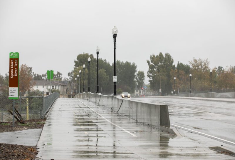
The Santa Clarita Valley forecast is calling for heavy rain next week, which could be joined by thunderstorms, as temperatures are expected to dip into the 40s by the middle of next week and drop snow levels to approximately 3,000 feet, according to weather officials.
The rainfall is expected to begin Sunday night, with the heaviest precipitation expected to fall Monday, according to Robbie Munro, meteorologist for the National Weather Service.
The amount could reach 2 to 4 inches over a several-day period, he said, with the stormy weather likely to linger through to the following weekend but dissipating somewhat by midweek.
Before that happens, though, SCV residents might get whipped by wind gusts expected to reach 60 mph, Munroe said, and highs that could be much cooler than they have been, which is expected to lower the snow levels, particularly along Interstate 5.
“We could see several inches of snow at the highest reaches of the I-5 corridor,” he said.
“It’s going to be much cooler than we’ve seen, especially what we’ve gotten used to over the last month. The time, as we head into Tuesday and Wednesday, we might struggle to be out of the 50s for the high.”
Munroe also said that, while the storm might be intense at times, the duration of the rain total means emergency-response officials are not predicting as severe of effects as those felt during the last major rainstorm, but there will be a few reasons for people to be a little more cautious.
“A little bit of water crossing roadways, but not necessarily closed roadways, but still, we’d want to take care driving on highways and stuff with reduced visibility, gusty winds, a little bit of flooding on roadways, could still lead to increased traffic incidents or delays,” Munroe said, describing the concern. “Especially in and below on recent burn scars, minor mud and debris flows crossing roadways and stuff like that, but (the storm) is unlikely to have the more significant, catastrophic-type mud debris flows.”
There’s also at least a small potential for thunderstorms Monday as part of the weather system moving in, he said.
“As those lines of heavier showers and perhaps isolated thunderstorms come through, especially on that Monday time frame,” he said, “we could see localized, stronger winds or even isolated tornado with that system on Mondays, primarily when the bulk of the storm hits.”
The storm comes just ahead of a request from the SCV Water Agency, which has asked residents to pause outdoor watering for one week starting Tuesday.
Kevin Strauss, spokesman for SCV Water, said the request is due to the state performing work on connections to the State Water Project at Castaic Lake, which is still expected to happen as of Friday.