Santa Clarita Valley residents should expect light-to-moderate rain through Thursday evening, with slight chances of thunderstorms, according to the National Weather Service.
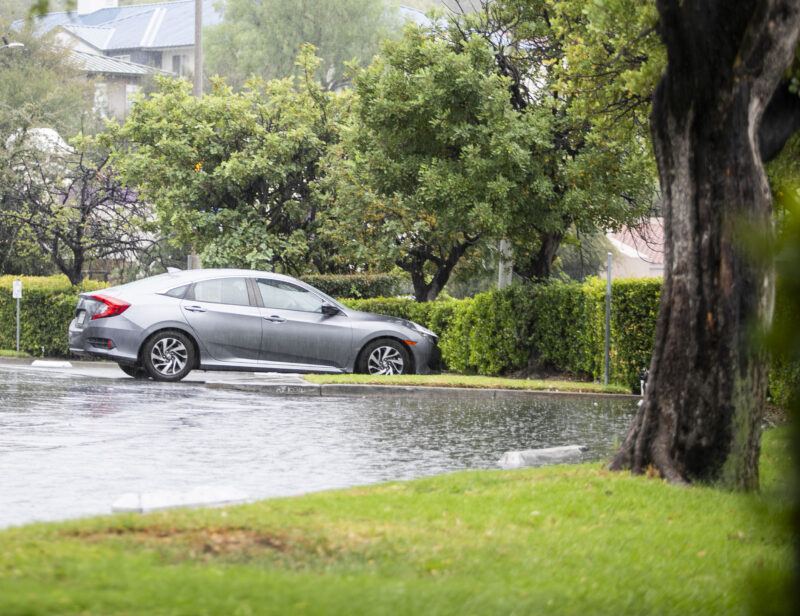
Bryan Lewis, a NWS meteorologist, said there will be minor road flooding with a low chance of high rainfall.
Lewis added that it will be in the high 60s for Thursday.
“The bigger ones from a couple years ago, like the Palisades and Eaton, those ones (are) the threshold for burn (scars) … significant debris flows on those burn stars are pretty high. But again, if we do see one of those heavier thunderstorms or showers, it could produce rainfall rates that are close to reaching those burn scar thresholds,” Lewis said. “So, there is a chance (of) probably about 20 to 30% chance that some of those areas could see some higher impacts there.”
Lewis said there will be no winds unless a thunderstorm happens, prompting winds at about 40-50 mph during the Thursday weather.
However, Friday is a “transition day,” as Lewis said, with the Santa Ana winds picking back up on Saturday.
The weather will be roughly upper 70s-80s and will remain nice until next week, Lewis said.
He added that during the rainy weather to avoid flooded roads because people do not know how deep they can be and to try to avoid traveling all together.
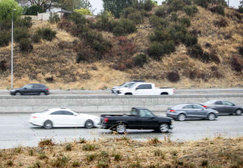
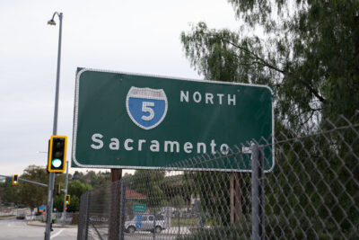
Mud was briefly disrupting traffic on the northbound lanes of Interstate 5 from Lyons Avenue on Wednesday afternoon, according to California Highway Patrol officials.