Road specialists got together Thursday to talk about adding major highways – and secondary highways – in response to plans to build more than 19,000 homes near Gorman.
Although the meeting held downtown Los Angeles was open to the public, no member of the public participated in the talks.
The ones who did attend included members made up of county road officials who represent Los Angeles County, its Department of Public Works and Department of Regional Planning.
Their mission was simple: amend the master plan of highways as part of the proposed Centennial Special Plan.
Talk focused on the need for new highways that would, according to planners, “serve circulation needs of the proposed development.”
“The applicant’s representative and the applicant’s engineer attended,” Mitch Glaser, spokesman for the Los Angeles County Department of Regional Planning, told The Signal on Thursday.
“The purpose of the meeting was to review and consider proposed roadways within the project site,” he told The Signal Thursday. “These roadways are identified in the Mobility Plan portion of the proposed Centennial Specific Plan.”
County vision
Jeff Pletyak, spokesman for the Department of Public Works, participated in Thursday’s highway discussion.
“Public Works is proposing major and secondary arterials inside the development to address traffic circulation for an entirely new community,” said Public Works spokesman Steve Frasher, who talked to Pletyak about the meeting.
“The county’s vision for multimodal active transportation options serves not only vehicular traffic needs but provides for and encourages walking, bicycling and public transit options as well,” Frasher said.
“New thoroughfares will be designed to accommodate these multiple uses and connect with the extensive network of sidewalks, connecting services and amenities planned within the community,” he said.
As for roadways outside the project site, those concerns were not discussed Thursday, Glaser said.
Highway plans proposed for outside the 19,000 plus housing project were spelled out in a plan presented to the public late last year.
In November, a consulting firm of engineers in Irvine supplied Centennial developers with a 1270-traffic study on the Centennial project.
Traffic Study
The study was put together in response, partly, to address comments made by citizens when the project’s draft environmental impact report was presented to the public.
Consultants pointed out to developers in their traffic study that “a recurring subject was the State Route 138 facility and, more specifically, the planned improvements outlined in the Northwest 138 Corridor Improvement Project prepared by the California Department of Transportation in cooperation with the Los Angeles County Metropolitan Transportation Authority.”
The Caltrans report calls for developers to “widen and improve 36.8 miles of Highway 138 between Interstate 5 and Highway 14.
The project proposes three alternatives to widening and improving nearly 40 miles of highway from Gorman to Lancaster. In the end, however, Caltrans officials settled on one alternative, called the Expressway/Highway scenario.
The Expressway/Highway scenario calls for a 6-lane freeway from the I-5 interchange to Gorman Post Road, a 6-lane Expressway from Gorman Post Road to 300th Street West, a 4-lane expressway from 300th Street West to 240th Street West, and a 4-lane limited access conventional highway from 240th to the Highway 14 interchange.
The plan follows the general alignment of Highway 138 as it is today.
Centennial Plan
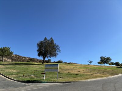
The Centennial Specific Plan Project sits on 12,323 acres just south of the Kern County line. It is expected to accommodate 19,333 homes on about 4,987 acres set aside for residential uses.
About 7.36 million square feet will be taken up by a business park—housing office, research and development, and warehousing or light manufacturing—on close to 600 acres.
More than one million square feet are to be used for stores on slightly more than 100 acres.
Land set aside for schools, medical facilities, libraries and “other civic uses” is expected to take up more than 1.5 million square feet on 110 acres.
The project also calls for four new fire stations and one new sheriff’s station.
It includes two wastewater reclamation facilities for the tertiary treatment of all wastewater generated by project uses. Recycled water from the plants is slated to be used for irrigation.
In terms of preserving the natural scenes commissioners looked at during a recent tour, the project promises to keep 5,624 acres of onsite open space.
661-287-5527
On Twitter