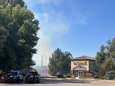
Santa Clarita Valley residents, many still recovering from the effects of the Tick Fire, are being told to prepare for rain, mud, debris flows, high winds and, in some places, snow, as a northern storm moves into the SCV from San Luis Obispo.
Early Monday morning, the National Weather Service issued a wind advisory for the SCV and nearby areas calling for winds between 20-30 mph, with gusts up to 50 mph, beginning Monday at 6 p.m.
“We have a very cold storm system moving over the (SCV) area from San Luis Obispo Tuesday night,” weather specialist Keily Delerme said late Monday afternoon.
The storm is expected to dump an estimated 2-3 inches in the SCV between Tuesday and Thursday, she said.
Snow is forecast for altitudes at the 2,500-foot level, she added.
“The I-5 corridor and through the Grapevine will see the most impact of the system,” Delerme said.
Asked if California Highway Patrol officials expect to shut down Interstate 5 through the Grapevine in light of the rain and snow as part of Operation Snowflake, CHP Officer Eric Priessman said that assessment is made “moment to moment.”
He urged motorists to check online with Caltrans for road closures or to call them at 800-GAS-ROAD.
SCV residents in areas ravaged by the Tick Fire and stripped of vegetation were advised by fire officials to pick up free sandbags at any Los Angeles County Fire Department fire station.
A Fire Department caution posted on Twitter reads: “If you live in the recent burn areas please prepare for possible rain, mud and debris flows.”
They recommend:
- Picking up sandbags.
- Staying away from flood channels, catch basins, canyons and waterways.
- Avoid flooded areas and never enter moving water on foot or in a vehicle.
Overnight temperatures are expected to drop from 49 degrees Monday night to 37 degrees by Thanksgiving.
Temperatures are expected to rise slightly Friday, ahead of a second storm front moving in next week, Delerme said.
661-287-5527
On Twitter: @jamesarthurholt