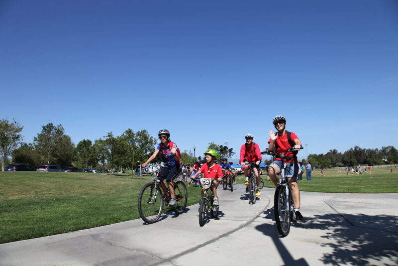
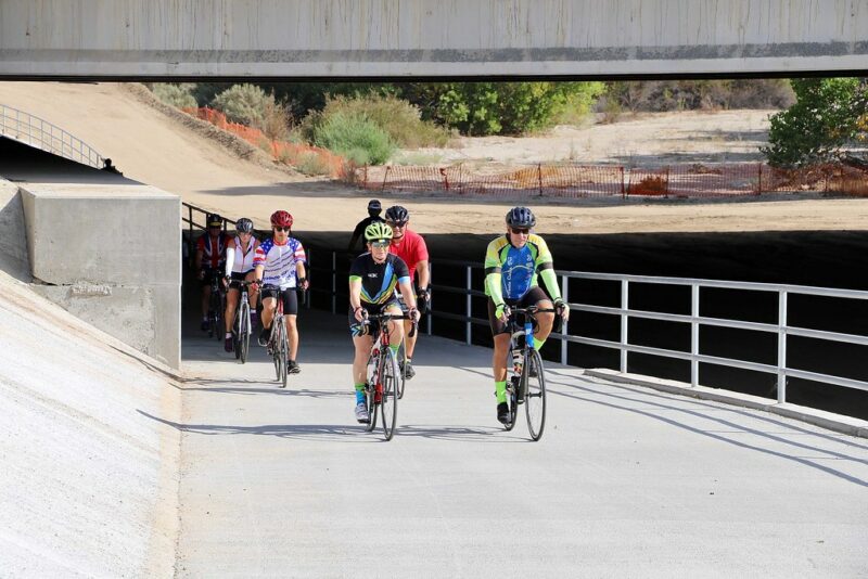
Miles and miles of routes for every level of rider
By Jim Walker
Santa Clarita is most definitely a bike-friendly city, and this was by design from the very beginning. In addition to many other outdoor recreational opportunities, the Santa Clarita Valley features more than 120 miles of bike routes, including unpaved trails, streets and 70 miles of paved paseos and Class I shared-use paths.
There is even a newly opened Trek Bike Park. And the city’s Non-Motorized Transportation Plan “establishes a long-term vision for improving walking and biking in our city,” so this will only get better.
“The city of Santa Clarita has a large and diverse cycling community that consists of everyone from road cyclists to BMX riders to mountain bikers to children who are on two wheels for the first time,” Santa Clarita Mayor Laurene Weste said. “There are opportunities for bicycle riders of all ages and abilities to enjoy all that the city has to offer, whether that is by sharpening your skills at the Trek Bike Park of Santa Clarita or riding on paved, off-street trails and paseos to get to your local park.”

For everything SCV biking-related, visit bikesantaclarita.com. Here you can find links to printable and interactive maps, apps that help you follow your route, videos where you can preview your route, and links to vendors and biking clubs, so you don’t have to go it alone. You can even find links to suggested bike routes to local schools. In fact, there are just too many riding opportunities, helpful suggestions and other links available to cover at one time, so here we will focus briefly on those 70 miles of paved paths.
See the accompanying sidebar for descriptions of the different bike route classifications in the SCV, but the smoothest and most meditative will be found as Class I Bike Paths. These provide “a completely separated right of way for the exclusive use of bicycles and pedestrians, with cross-flow traffic minimized,” so you don’t have to be concerned with motorized vehicles or their exhaust fumes. You can concentrate on your cardio and music.
If you view the printable map or interactive map at the biking website, you will note many Class I routes marked in red. And you can certainly start and end your ride at any point(s) along the routes. Using the map at bit.ly/3vQtkOf, you can see some Class I routes include Newhall Ranch Road Trail, San Francisquito Creek Trail, South Fork Trail, Santa Clara River Trail, Chuck Pontius Commuter Rail Trai and the Golden Valley Road Trail. Just know that Class I doesn’t necessarily mean level. The SCV generally increases in elevation as you head east, and as you head toward the foothills north or south.


This is just to ease you in. If you want something more difficult, the website features several suggested bike routes on roads, classified as “easy,” “moderate” and “difficult,” depending on distance and elevation changes. And you are certainly welcome to plot your own routes using any combination of trails available that suits your equipment.
“The city is proud to be recognized as a Silver Bicycle Friendly Community by the League of American Bicyclists,” Weste said, “and is committed to providing safe and scenic bicycle facilities for riders. We will continue to expand our bike trails to help best serve the residents of Santa Clarita.”


Bike to Work Challenge
The city of Santa Clarita is holding its 18th annual Bike to Work Challenge May 16-20 to see which local businesses can get the most employees to bike to work. Those with the largest percentage of participation will win a prize for the team, and individual riders will be entered into a raffle for other prizes. Visit bit.ly/3KA4yrn.


