
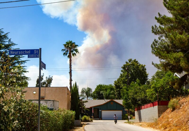
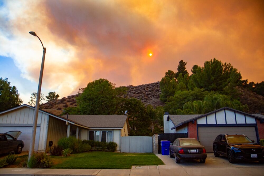
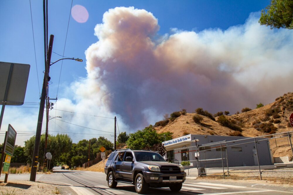
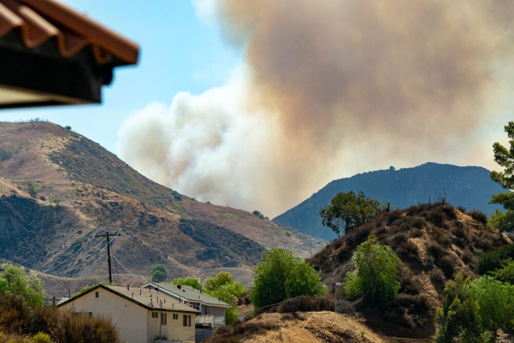
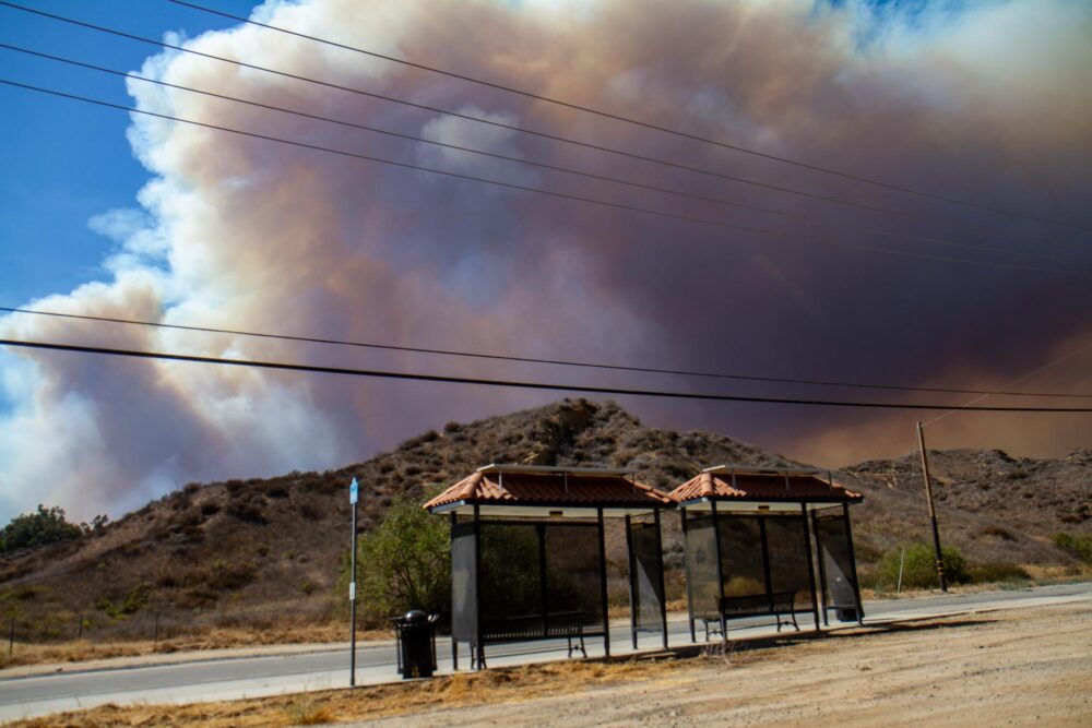
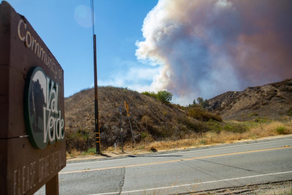
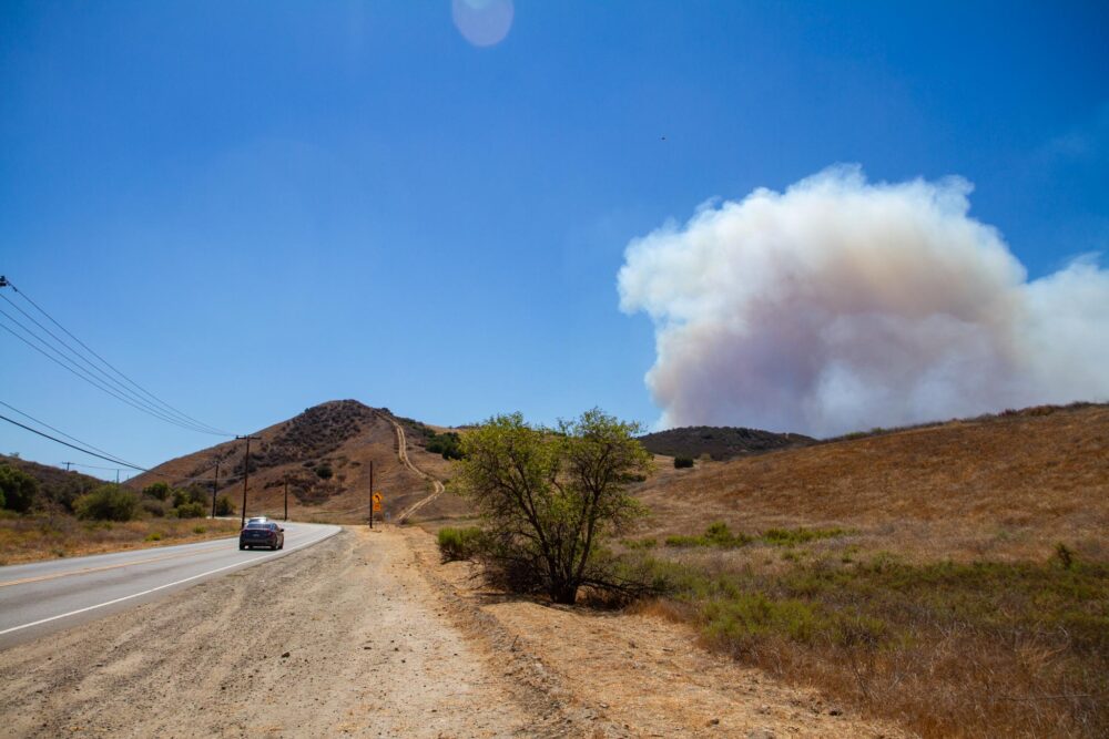
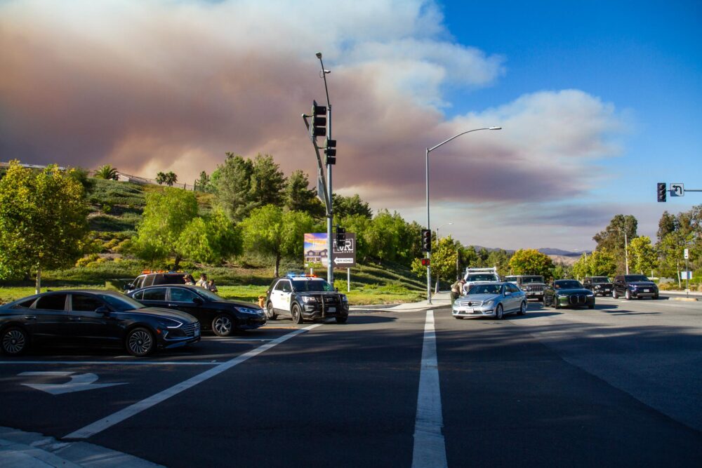
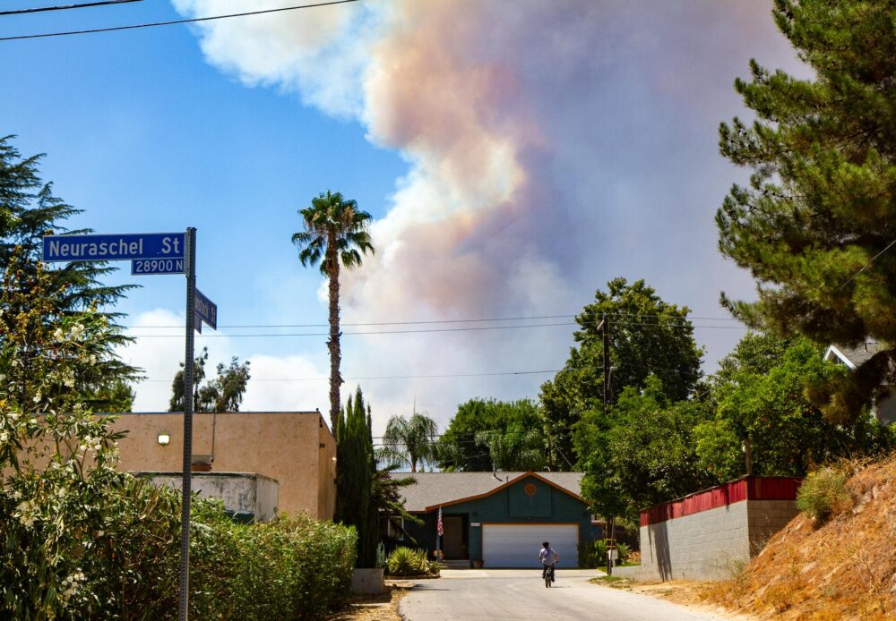
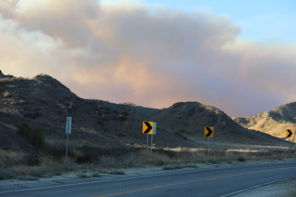
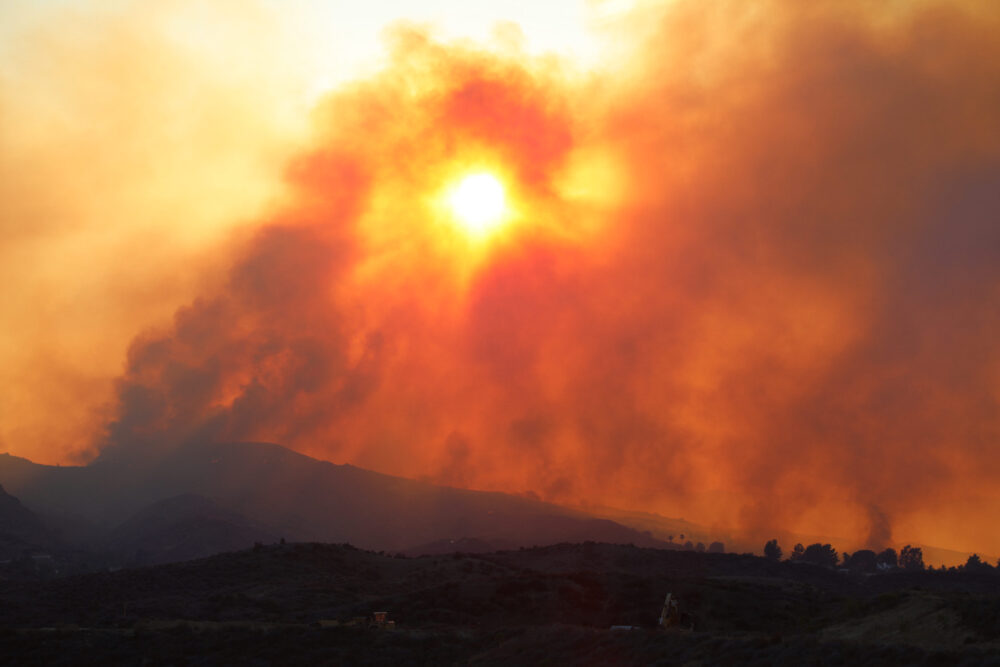
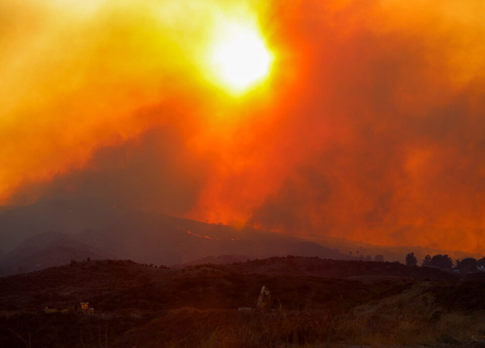
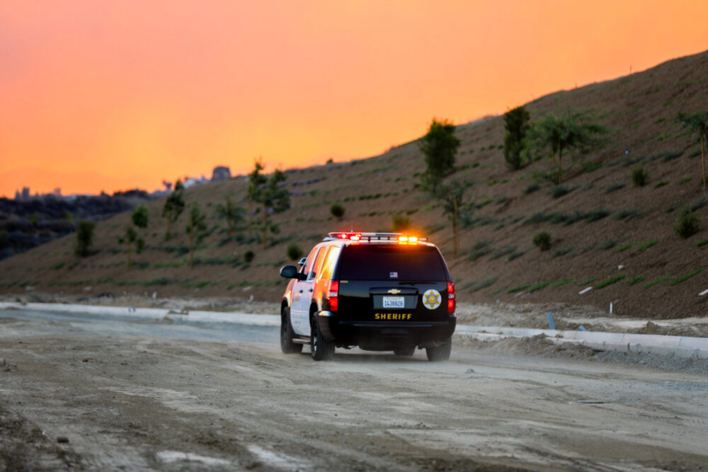
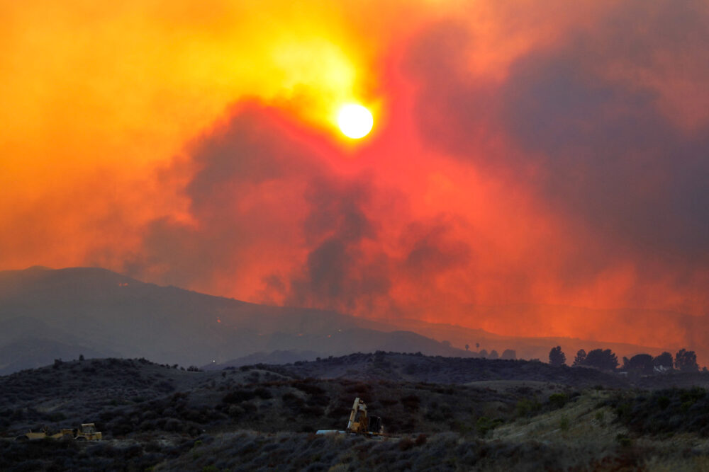
A brush fire, dubbed the “Canyon Fire,” prompted evacuation orders for Val Verde, Oak Canyon, Hasley Canyon, Romero Canyon and the Golden State-C evacuation zone on Thursday afternoon, according to officials with the Ventura County Fire Department.
There are about 4,200 residents and 1,400 structures in the Val Verde, Romero, Oak Canyon and Hasley Canyon evacuation zones, according to Andrew Dowd, public information officer for the Ventura County Fire Department.
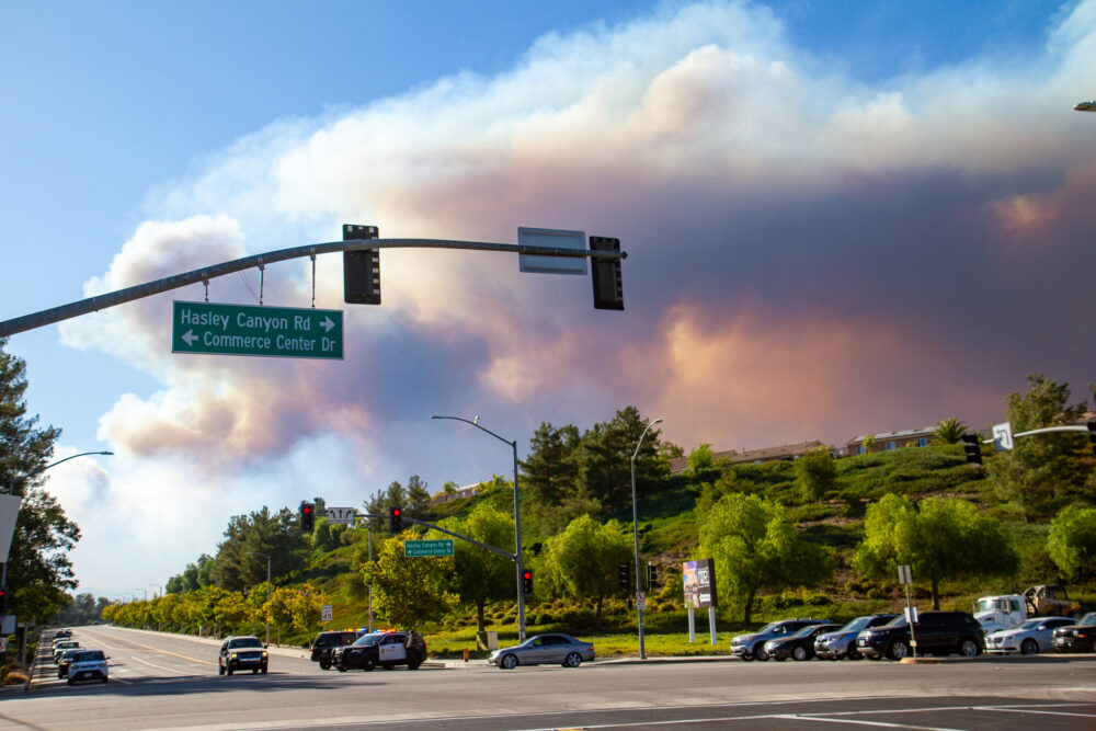
A few minutes after 5 p.m., the Watch Duty app also reported that flames had jumped to the north side of Hasley Canyon Road.

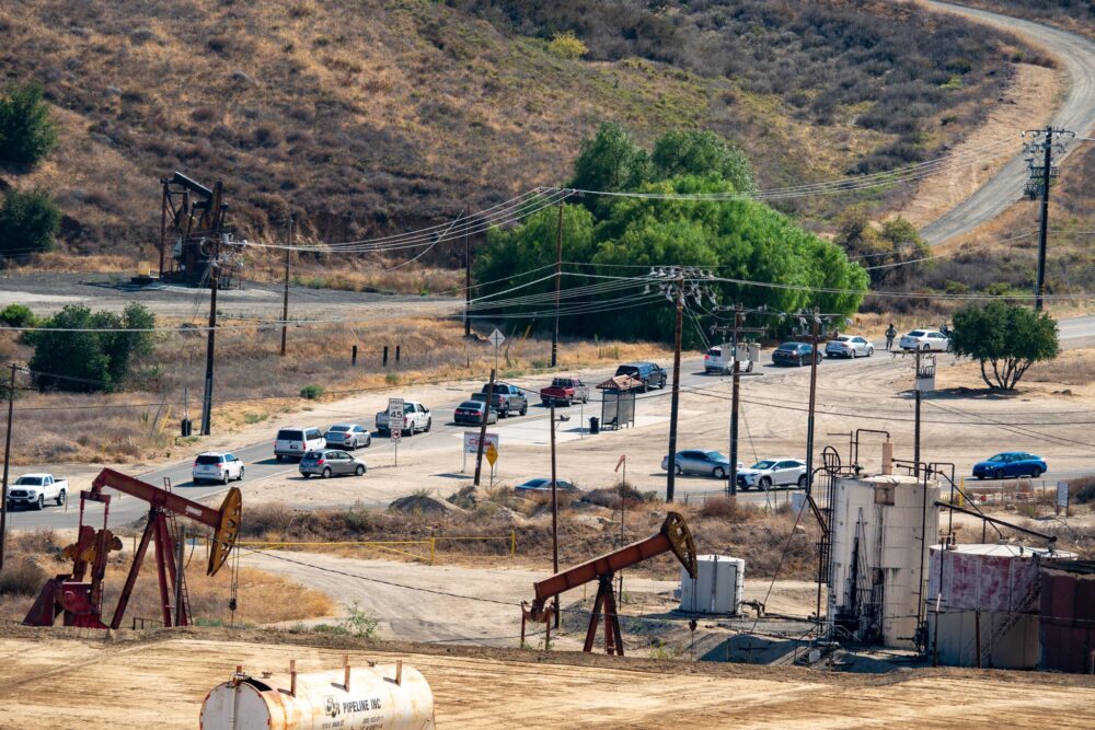
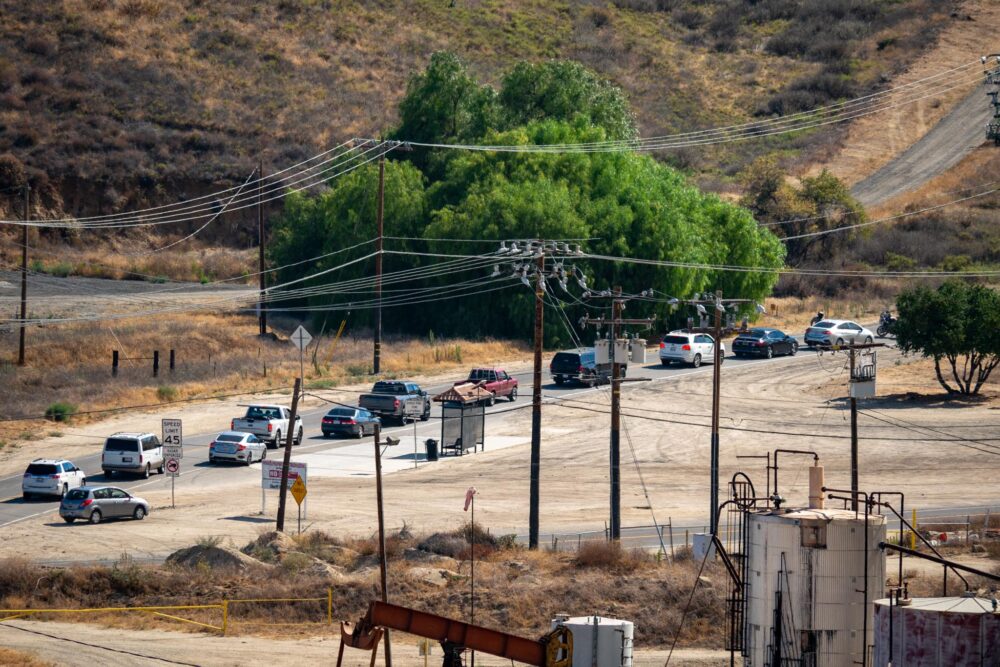
According to a news release from the Los Angeles County Sheriff’s Department, Chiquita Canyon at Highway 126 and Hasley Canyon Road at Del Valle Road are closed as of the publication of this story.
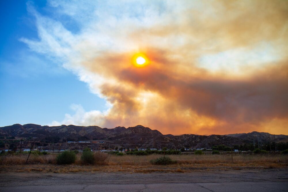
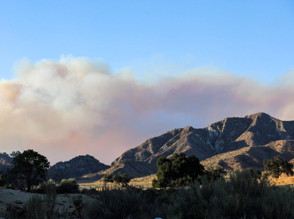
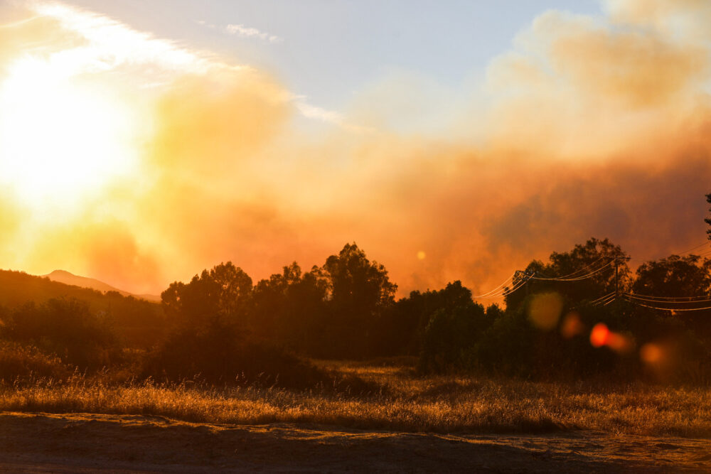
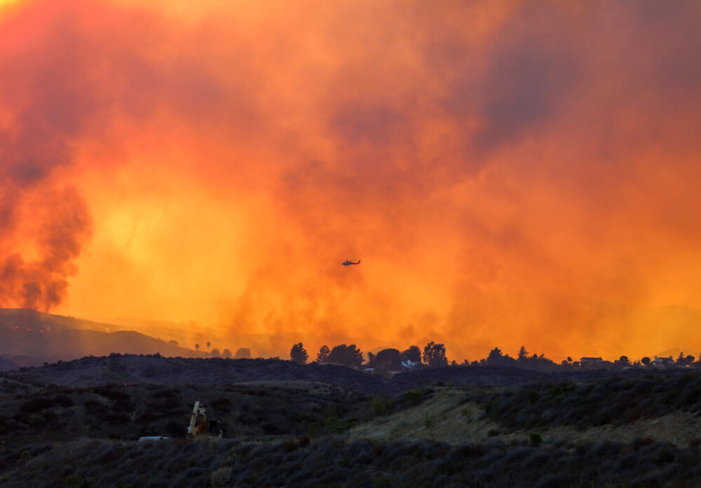
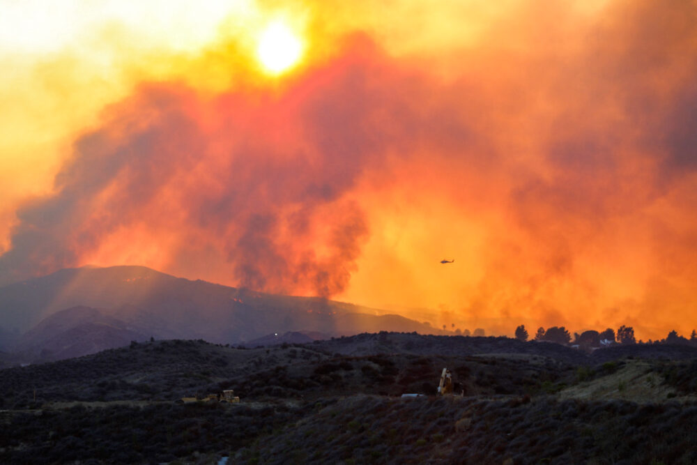
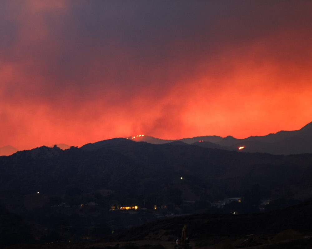
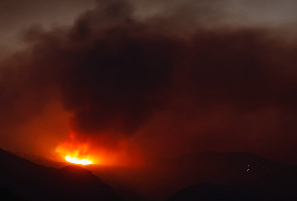
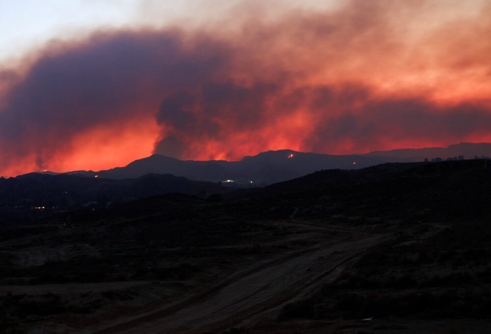
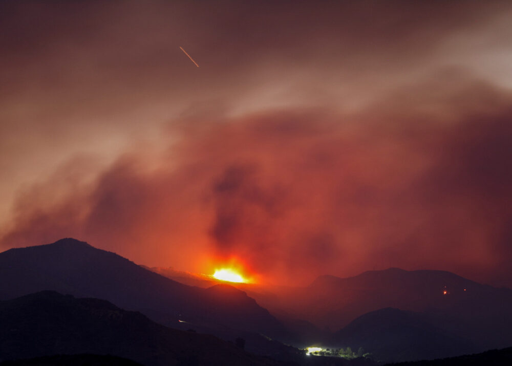
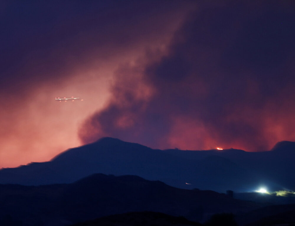
The fire reportedly started in the 6700 block of Holser Canyon Road near Val Verde. By 9:50 p.m., it had scorched 4,856.3 acres, driven by the terrain.
“With high temperatures and this combination of steep terrain and dry fuels, we’re seeing very significant fire behavior activity. But we have resources on the ground, aggressively fighting fire in coordination with our aviation assets to establish control lines,” Dowd said in a phone interview.

“For residents in Santa Clarita, Hasley Canyon and Val Verde: Please take every evacuation warning and order seriously. If first responders tell you to leave, go — without hesitation,” Los Angeles County Supervisor Kathryn Barger said in a prepared statement.
In a phone interview shortly after 4 p.m., Devin Black of the National Weather Service reported that winds in the canyon were estimated at 8 to 12 mph, with gusts up to 20 mph. Meanwhile, southwest ridge-top winds were blowing at 10 to 15 mph, with gusts reaching up to 25 mph for the rest of the day.
Black added that minimum humidity values were 15% to 18%, mixing height 4,500 to 5,000 feet, and the transport winds southwest were gusting 10 to 15 mph.
For the evening, Black said winds were expected to be blowing up the canyon at 6 to 10 mph, with gusts up to 15 mph through 8 p.m. Winds blowing down the canyon would be lighter, he said, around 3 to 6 mph.
Quick Reaction Force resources as well as a Mobile Retardant Base have been ordered for the night shift for the fire, according to Watch Duty.
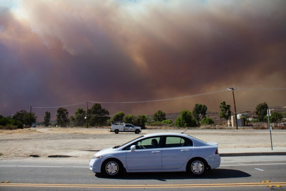
David Eisenhauer, spokesman for Soutern California Edison, said about 300 residents have been affected by the fire in the Valencia/Santa Clarita areas.

There are current evacuation warnings or Level 2 warnings for Los Angeles County in CAS-INDUSTRY, CAS-CAMBRIDGE, CAS-HILLCREST, CAS-GOLDENSTATE-B, CAS-GREENHILL, CAS-SLOAN and CAS-ROMERO, according to the Watch Duty app and the Genasys Protect evacuation map.
In the evacuation warning zones, there are about 12,500 people and 4,300 structures, Dowd said.
“There are three things that drive wildfires: fuels, weather, and topography. So, when you have very dry fuels, they’re likely to have rapid fire growth. When you have steep terrain, you’ll have fire that can run up that terrain very quickly. And the combination of low humidity and high heat makes that fuel bend even more receptive to fire,” Dowd said. “So, when you add these things together, you get a condition where, even without significant winds, we are seeing very significant fire behavior.”
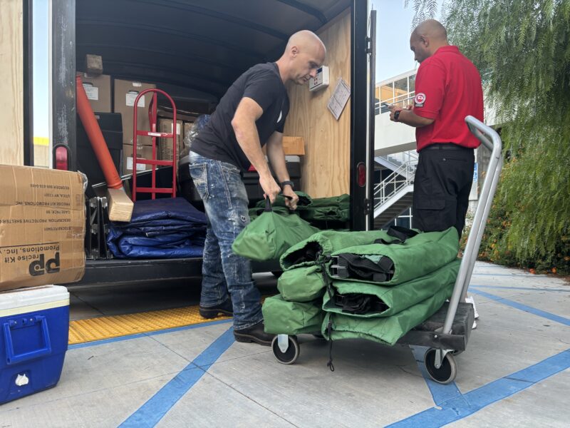
Los Angeles County Emergency Management issued a release indicating that an evacuation shelter was established in the east gymnasium on the College of the Canyons campus at 26455 Rockwell Canyon Road in Valencia.
Additionally, large animals can be evacuated to Pierce College at 6201 Winnetka Avenue in Woodland Hills, and small animals can be evacuated at the Castaic Animal Care Center at 31044 Charlie Canyon Road in Castaic, or the Agoura Hills Animal Shelter at 29525 Agoura Road in Agoura Hills.
Evacuees can bring their small pets to COC and must have them kenneled outdoors, according to Tim Honadel, director of International Services and Programs at COC.
Honadel added that large animals in trailers can be parked at parking lot eight at COC.
Dowd encourages all residents to visit fire.lacounty.gov/emergency for the latest updates on evacuations and for more information.
To see the Genasys Protect evacuation map, visit tinyurl.com/4yeb7jmd.
This is a breaking news story, and additional information will be added as it becomes available.


