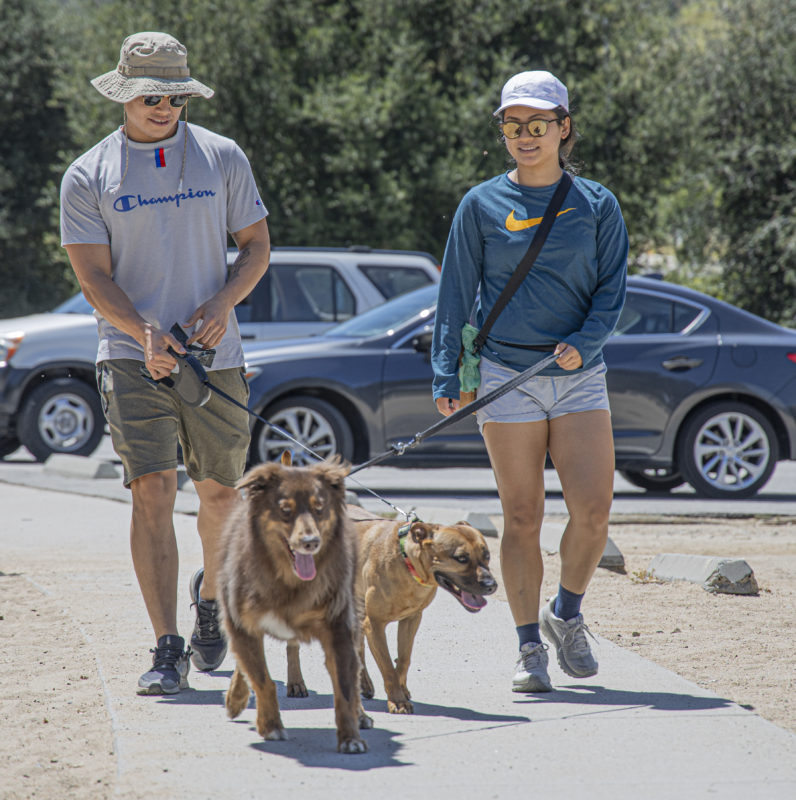
As Los Angeles County begins to ease the stay-at-home restrictions, the county’s trails and parks are among the first to reopen.
With hundreds of trails that traverse the Santa Clarita Valley’s hillsides, it’s not a bad idea to get outside and adventure through one, at a safe distance of course.
“Santa Clarita has a lot of great trails, and I’d like to commend the city and the city council for making sure that we have a lot of open space and great trails — that’s what sets Santa Clarita apart from most other cities,” said Dianne Erskine-Hellrigel, president of the Santa Clarita Community Hiking Club.
SCV Trail Users chairman Ken Raleigh agreed, adding, “Fortunately, there’s a lot of trails in Santa Clarita. There are also some really popular trails, but I usually avoid them. I prefer the trails less traveled, so to speak.”

If you do decide to get out and explore, be sure to remember the public health guidelines, which include no group gatherings, maintaining at least 6 feet of physical distance, and be sure to bring a face covering, as they are mandatory if you are closer than that.
While Erskine-Hellrigel and Raleigh both say it’s hard to choose a favorite, with more than 12,000 acres of open space and 100 miles of trails and paseos, the SCV has a trail for everyone. Here’s a list of some of her favorites:
Weldon Canyon
22925 Coltrane Ave. in Newhall
This steep climb is actually a service road, but it’s rare to see any other traffic on the way.
The trail leads you to the top in 3.5 miles from the trailhead, where you can either turn back or traverse the ridge to East Canyon, then on to Mission Peak for some great views of the city.
“It’s a great workout and one of my favorites,” Erskine-Hellrigel said.

Towsley Canyon
24335 The Old Road in Newhall
For those who want a slightly easier hike, but still have a chance to be one with nature, this is a favorite for lots of local hikers and mountain bikers because of its natural beauty, wildlife and intermittent hills and downhills, according to Erskine-Hellrigel.
This is one of the SCV’s most popular hikes though, so be prepared for some crowds on optimal days, Raleigh added.
Pico Canyon
27201 Pico Canyon Road in Stevenson Ranch
Those who want to learn a little bit about the SCV’s history should certainly give this trail a try, as it’s the site of California’s first oil well, as well as old town Mentryville.
About a mile into the hike, you’ll encounter Johnson Park, an olden-days park that was used by the oil workers living in the canyon for recreation and picnics. Another mile will take you to the plaque commemorating the oil wells.

Whitney Canyon
20303 Newhall Ave. in Newhall
If you’re looking for some water, this is the trail for you. This trail is good for all skill levels with a waterfall waiting for you at the 2.5-mile turnaround.
“After a rain is the best time to go because the waterfall will be running,” Erskine-Hellrigel said.
Raleigh also considers this not only a very nice trail, but one of the ones with much less traffic.
Placerita Canyon
19152 Placerita Canyon Road in Newhall
From the Nature Center, there are multiple trails to take, ranging from easy to hard.
While the Hillside Trail includes some tough climbs, the Botany Trail is perfect for families with kids, complete with signage about plants and a Native American Wikiup along the way.

East Walker Ranch
16723 Placerita Canyon Road in Newhall
This is another beautiful hike with plenty of wildlife and wildflowers. There are various trails, so you can make the hike as easy or tough as you’d like.
“East Walker Ranch is a great hike with lots of nice hills that will get your heart pumping,” Erskine-Hellrigel said.
Elsmere Canyon
20303 Newhall Ave. in Newhall
Both Erskine-Hellrigel and Raleigh consider Elsmere a beautiful trail and true hidden gem, with a creek that runs in the winter and through the spring.
With a number of trails of varying difficulty, this area offers hikers quick and easy to long and difficult options.

Pacific Crest Trail
This famous trail cuts through multiple locations across the SCV on its way from Mexico to Canada.
“This national scenic trail traverses along the northern edge of the Santa Clarita Valley,” Raleigh said.
Though many hikers trek across the country for this, SCV residents have the opportunity to do day hikes instead.
Try the app
The city of Santa Clarita offers a number of mobile apps, including Hike Santa Clarita, which allows users to learn more about local hiking trails, with helpful information, photos and interactive maps, according to Jeff Morrison, open space and trails administrator.
“Trail users can easily find new places to hike, bike and or ride horses,” Morrison said via email. “Also, when out in the open space, if directions are needed they can tap their trail in the app, review trail details and follow along.”
In the future, the city plans to add an emergency locating layer to the app to help identify precise locations, Morrison added.
For more information, visit hikesantaclarita.com.

Join the club
Started by people with a passion for hiking and in an effort to teach people how to do it safely, the Community Hiking Club has been around for nearly two decades.
In addition to hiking trails all over the SCV and surrounding areas, as well as going on camping excursions, the group strives to keep the area beautiful by cleaning up trash, removing graffiti and more.
For more information, visit communityhikingclub.org.
Volunteer
Join the SCV Trail Users, a committee of the nonprofit Concerned Off-Road Bicyclists Association, to not only create new trails, but also maintain existing ones across the SCV.
“We’ve been working with the city, collaborating with (L.A.) County and even the (U.S.) Forest Service to expand and maintain trail opportunities here in the SCV for all non-motorized users,” Raleigh said.
For more information, visit facebook.com/groups/scvtrailusers.
Hiking tips
Though it may seem pretty straightforward, hiking can become dangerous if done incorrectly, so here are some tips from Erskine-Hellrigel, Raleigh and Ranger Frank Hoffman, head ranger and recreation services supervisor at Placerita Canyon Nature Center.
- Never hike alone; always bring a friend.
- Hike only in the daylight.
- Tell someone where you’re going and when you’ll be back.
- Always bring more supplies than you need. That includes water, electrolytes and food.
- Also, bring a fully-charged phone, compass, basic first aid materials and a whistle.
- Don’t take a hike that’s too difficult. Instead, start slow and try to work your way up to longer hikes.
- Don’t hike in unfamiliar territory; make a plan and stick to it.
- Be aware of your surroundings, watch for trail markers and stay on designated trails.
- Plan for weather conditions by wearing proper attire, including hiking boots if needed.
- Be aware of wildlife, and know what to do if you see a rattlesnake or mountain lion.
- Know what poison oak looks like, and stay away from it.


