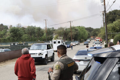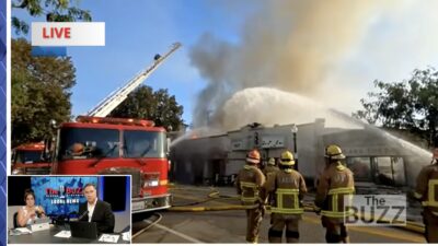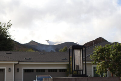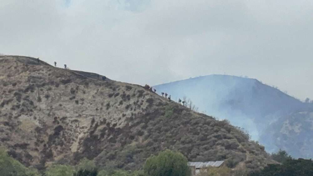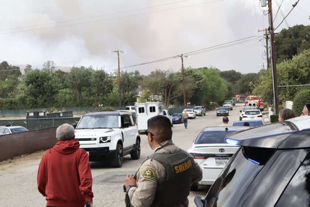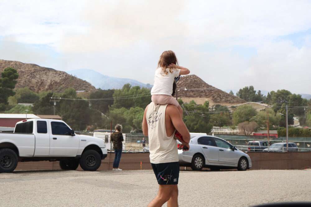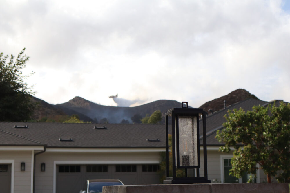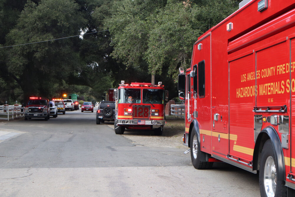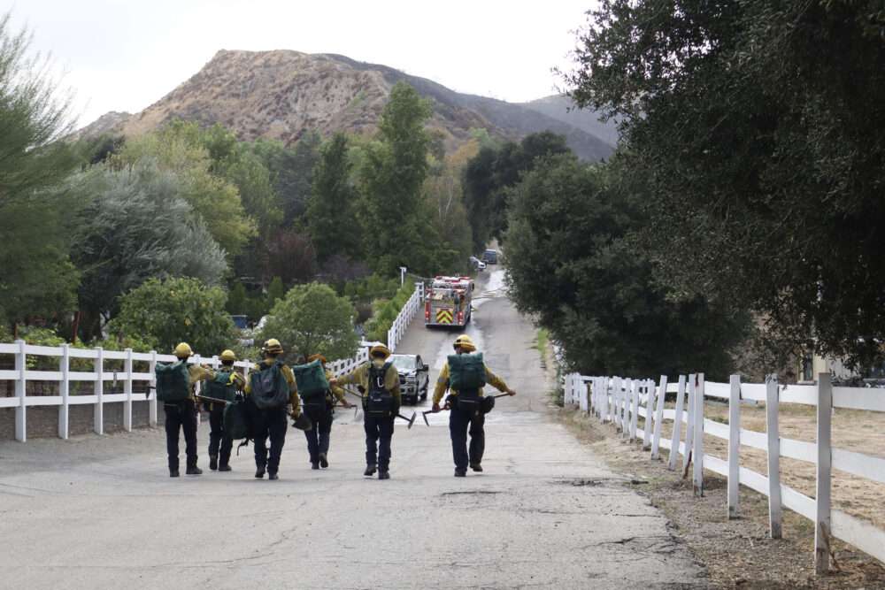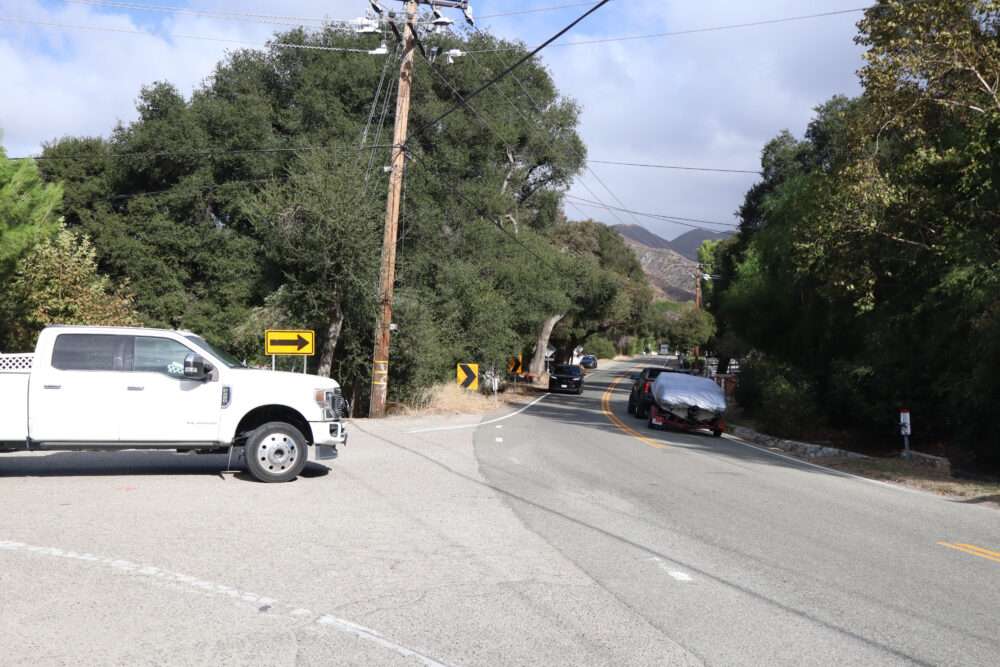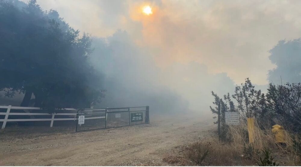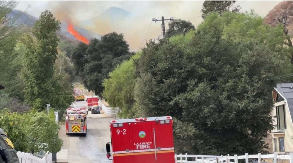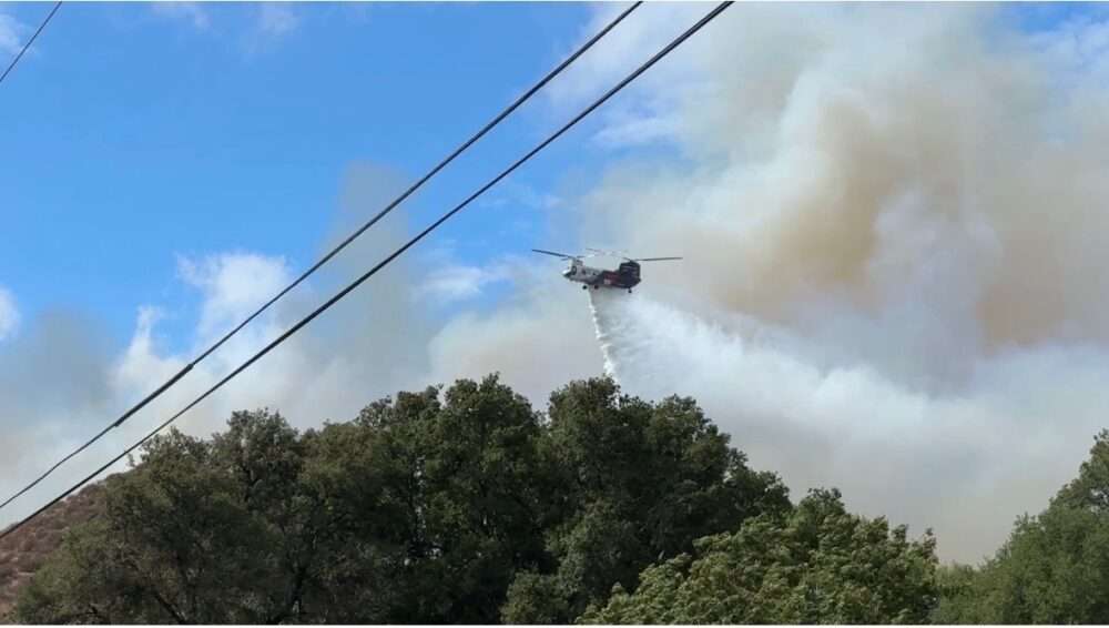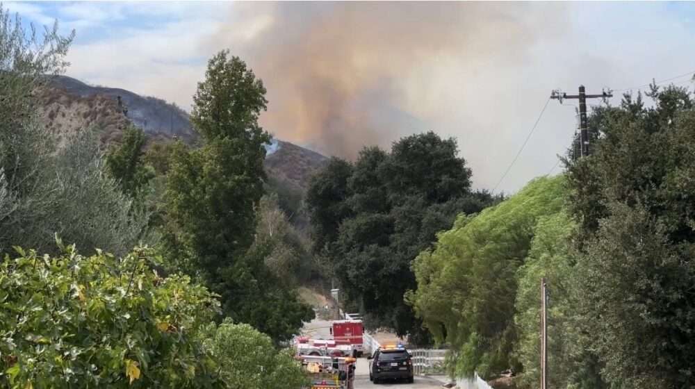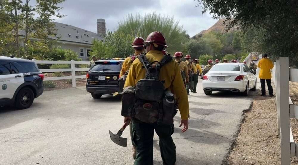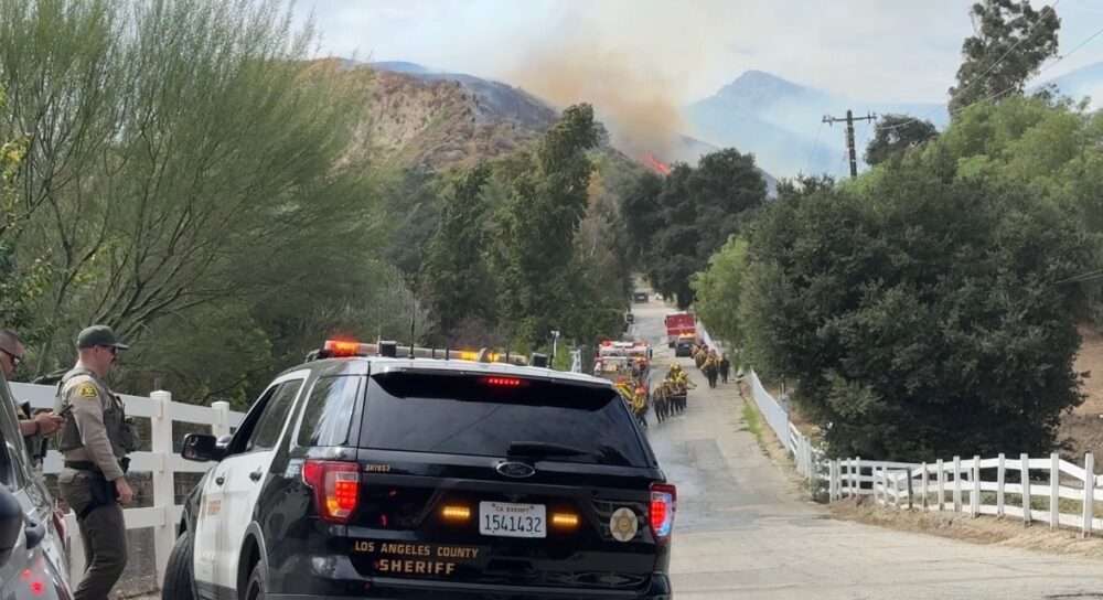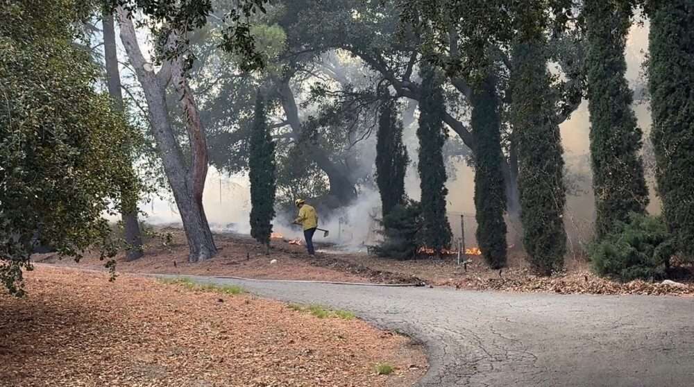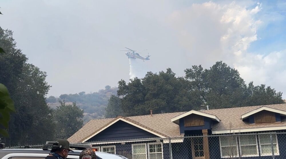
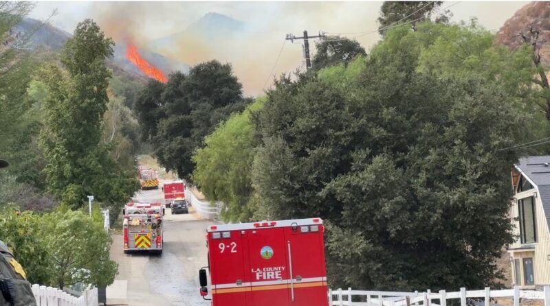
A brush fire prompted evacuation orders in Sand Canyon on Sunday afternoon amid erratic winds and a threat to structures.
“The fire is now 200 acres with a rapid rate of spread and a potential for 300 acres in the next hour, per HLCO (Helicopter Coordinator),” the Watch Duty app reported at 2:32 p.m.
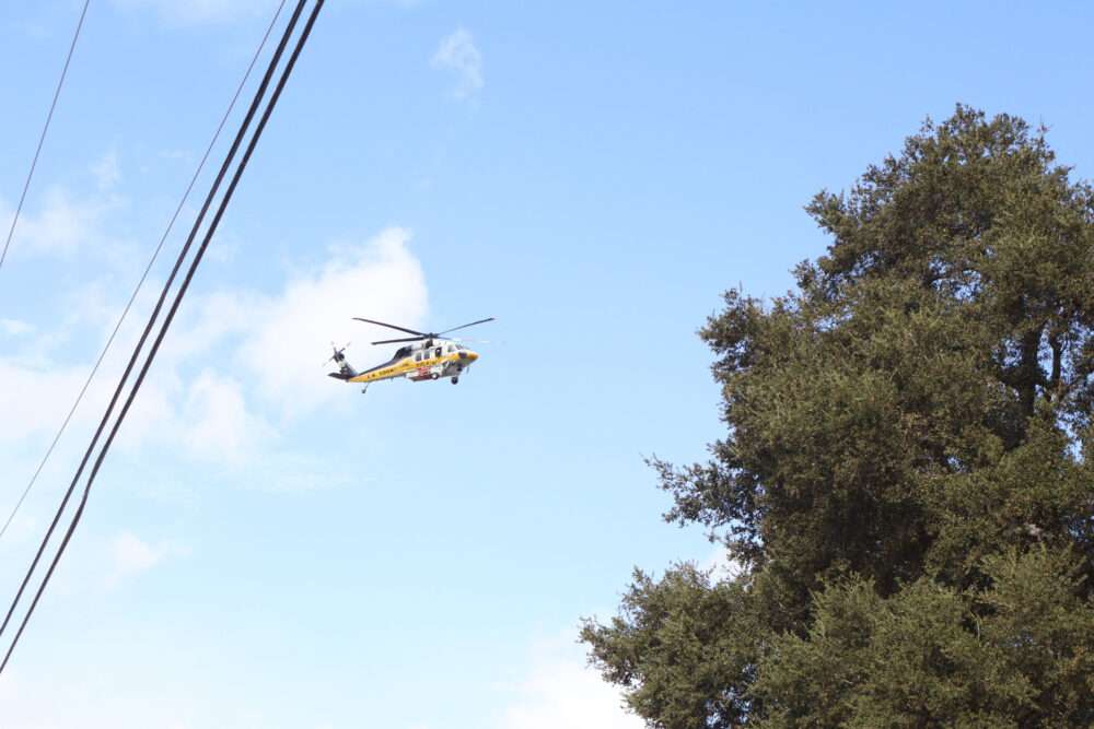
Los Angeles County Fire Department and other agencies’ personnel were quick to respond to the “Bike Fire,” with over 250 firefighters and roughly 75 from U.S. Department of Agriculture Forest Service, according to Capt. Aaron Katon, public information officer for the Fire Department.
Initially, firefighters thought the fire was small in the Sand Canyon area, but due to heavy winds and uphill terrain, the fire quickly expanded, Katon said during an in-person interview Sunday afternoon near Fire Station 123, the command post for the fire.
The fire was burning southwest with erratic winds, Katon said during a follow-up call on Sunday evening. The fire was 12% contained as of 5:33 p.m., according to Katon.
Katon said there were roughly 483 structures threatened in the evacuation order areas, and about 1,800 people were affected in the area.
“The warning area is bigger than that, and we always tell people, don’t wait to receive the order to go. You can always go and come back,” Katon said.
He added that the reason behind the rapid fire behavior is the fuels, weather, and typography.
“And today, we had two and a half of those that … with the fuels, that, as you look around, there are beautiful trees and bushes here, but under fire conditions, these are fuel … however, the weather has been as about as unfavorable as you could hope, with the winds,” Katon said. “The winds are the biggest factor with weather. Right? When you look at weather, and then these erratic winds that, as this storm, this formerly tropical storm, Rachel, as it pushed through the L.A. basin and dropped all its rain on the other side of the mountains, as it comes into Santa Clarita, it moves in as a dry storm.”
Katon said with the winds and no rain to dampen the fire, it was much more prone to explode.
Katon added that, in such a hilly area, the fire hits the hills and will run quickly uphill.
When asked what advice he had for residents on what to take during an evacuation, he said the five P’s: photos, paperwork, prescriptions, plastic, and pets.
Katon added that Santa Clarita is a model for preparedness in these conditions – but he advises all residents to be prepared, have a plan, and harden their home.
Ryan Carpenter, the homeowner whose wife called 911 about the fire, said his mother-in-law saw the smoke, prompting his wife to call the first responders.
He said he looked up at the ridge and saw a bunch of flames.
Carpenter said things like this have happened before, but he and his wife are always prepared and have heavy equipment like fire hoses in case of emergency.
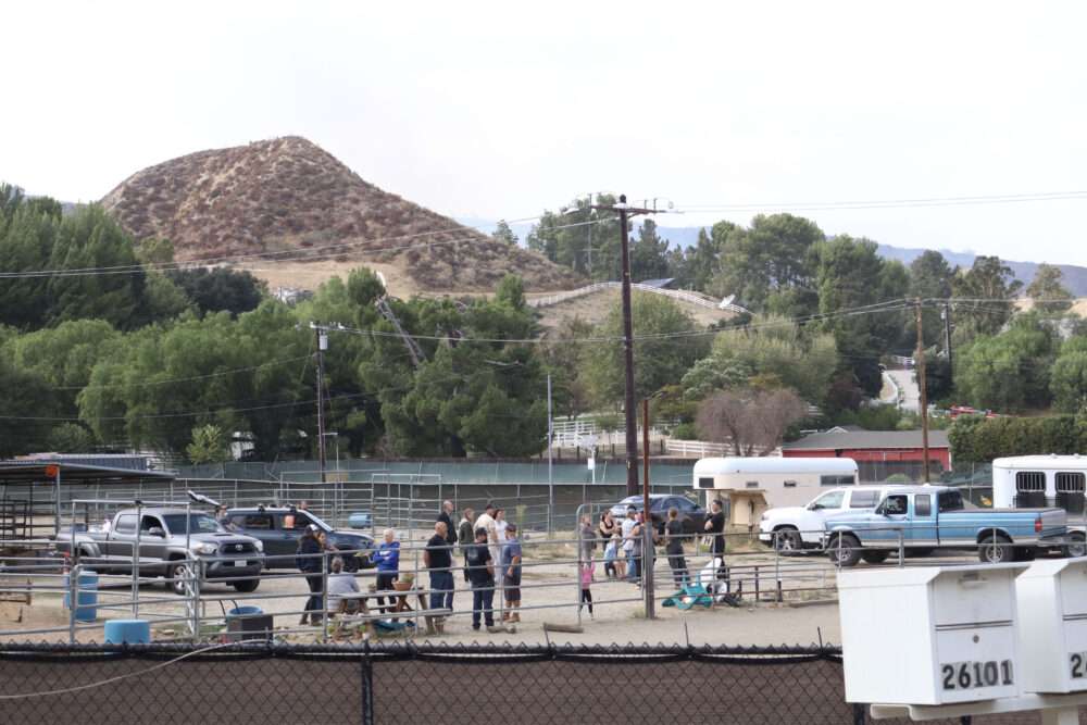
During the initial evacuations, residents were seen leaving with their pets and children. Horses and other animals were also being evacuated as well.
By late-afternoon, it seemed firefighters were getting the upper hand: “The fire is holding at 275 acres with hose line around approximately 40% of the fire, per HLCO,” Watch Duty reported.
Later, fire mapping indicated the acreage was lower, estimated at 171.5 acres.
Earlier, structures had been reported threatened in the area of Pineview Road, Mountain Park Road/Falter Road, and Pacy Street.
A third-alarm response was requested for the blaze, which was dubbed the Bike Fire and was first reported at 1:07 p.m.
It was projected at 1:48 p.m. that the fire had potential to hit 150-200 acres within an hour.
Evacuation orders were issued for the following zones: SCL-MACMILLAN, SCL-NADEU-A, SCL-SANDSOUTH-B, SCL-SULTUS. Those orders remained in place as of the publication of this story Sunday evening.
Evacuation warnings were issued for these zones: LAC-E119-A, SCL-CRYSTALSPRINGS, SCL-FAIROAKSRANCH, SCL-MEDLEYRIDGE, SCL-NADEU-B, SCL-ROLLINGHILLS-B, SCL-SANDSOUTH-A, SCL-WOODLAND.
The zones are generally along Sand Canyon Road, and specific evacuation zone information can be viewed at protect.genasys.com.
An evacuation center was established Sunday afternoon at College of the Canyons’ Valencia campus, 26455 Rockwell Canyon Road.
L.A. County Animal Care and Control activated the Antelope Valley Fair Ground as the animal evacuation center for large and small animals, according to the city of Santa Clarita. The address is 2551 W. Avenue H, Lancaster.
This is a breaking news story and additional information will be added as it becomes available.